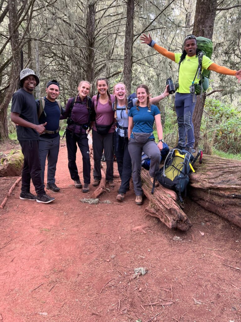
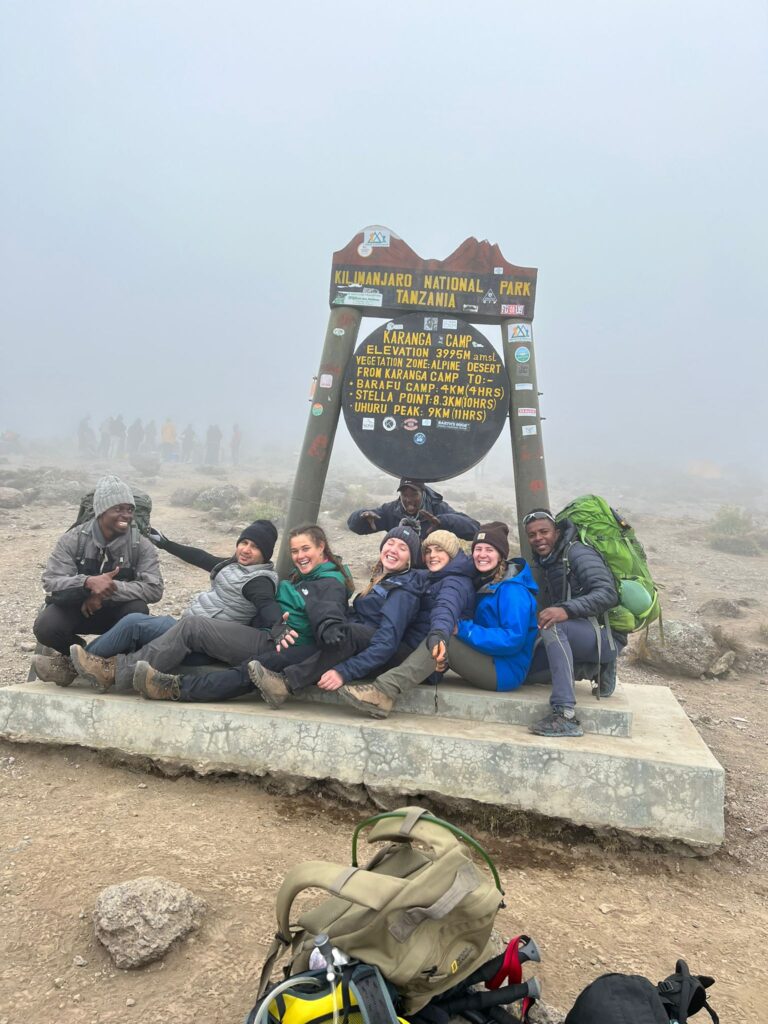
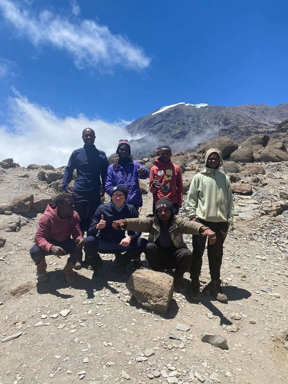
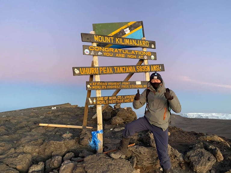
The Rongai Route is Kilimanjaro’s only northern approach. The Rongai route starts on the north side of Mount Kilimanjaro, on Kilimanjaro’s second peak. The route is moderately difficult, and is one of the easier routes up Kilimanjaro. It covers a total distance of approximately 73 kilometres.
What Are Your Chances of Reaching the Summit of Kilimanjaro?

We've calculated your personalized summit success score, recommended route, and training plan. Enter your details below and we'll send it straight to your inbox.
Enter your details and we'll email your personalized summit success score, recommended route, and training plan.
🔒 No spam. Your details are kept private and never shared.
Check your inbox!
Find your personalized assessment plan.
- What is the Rongai Route on Mount Kilimanjaro?
- Is the Rongai Route a good trek for Mount Kilimanjaro?
- How difficult is the Rongai Route on Mount Kilimanjaro?
- What is the distance of the Rongai Route?
- How long does it take to climb the Rongai Route on Mount Kilimanjaro?
- What is the itinerary of the Rongai Route on Mount Kilimanjaro?
- What is Rongai Gate on Mount Kilimanjaro?
- What is the best time to climb the Rongai Route on Mount Kilimanjaro?
- How much does the Rongai Route cost on Mount Kilimanjaro?
What is the Rongai Route on Mount Kilimanjaro?
The Rongai route is one of the more remote and wild trails on the entire mountain, and it is flatter than the other Kilimanjaro routes. It ascends Mount Kilimanjaro from the north-eastern side of the mountain, along the border between Tanzania and Kenya, and it is the only trail that starts from the North. It ascends the northeastern side along the border between Tanzania and Kenya, and it starts at Rongai Nalemoru Gate near the Kenyan border. The route is located close to Amboseli National Park. It offers trekkers a chance to spot large animals like elephants, white Colobus monkeys, and antelopes.
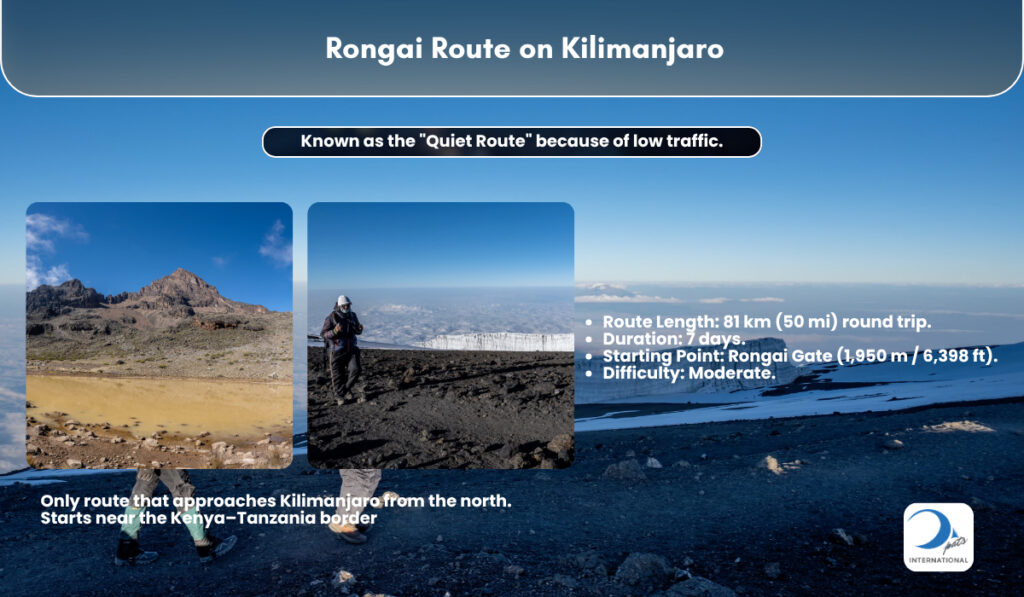
This trail is a quieter, less crowded route. It offers a relatively unspoilt wilderness experience and passes through remote wilderness areas. The Rongai Route has a more gradual slope and a gentle ascent from the north. There are no sharp steep sections on this route. Due to this gradual incline, it is deemed one of the easier routes up Kilimanjaro.
Seven day Rongai Routes are highly recommended as extra days to acclimatise are included. The trek includes an acclimatization walk to Mawenzi Tarn. Overnight stay is at Simba Camp, Mawenzi Tarn, Kikelewa Camp, and Kibo Huts Camp. Summit night from Kibo Hut is steep and follows the same path taken by the Marangu route, passing Gilman’s Point to Uhuru Peak. Descent is made via the Marangu route. The Rongai Route’s total walking distance is 74.4km (46.2 miles). The route’s descent distance is 36.75km (22.84 miles).
Is the Rongai Route a good trek for Mount Kilimanjaro?
The Rongai Route is a good trek for Mount Kilimanjaro. The Rongai Route is perfect for those seeking a milder ascent on a remote route. The Rongai route is the least frequented and one of the least busy of all the Kilimanjaro trails. It is the only route that approaches Mount Kilimanjaro from the north near the Kenyan border, which is why it offers a different perspective. The Rongai route is less traveled, and its remoteness gives trekkers tranquility and solitude.
The Rongai route has a more gradual slope and is flatter than other Kilimanjaro routes. It is the driest route on Kilimanjaro because the northern side of the mountain receives less rainfall. The Rongai is a good option during the rainy season in April, and it avoids the steep Barranco Wall. The route does not offer climb high and sleep low options and requires climbers to be comfortable with camping. The Rongai Route lasts between seven to eight days, and the eight day Rongai Route is highly recommended for better acclimatization. The Rongai Route is less popular than other Kilimanjaro routes like Machame or Marangu. Trekkers see sparse crowds until high camp, and the route has low foot traffic. The Rongai Route has a moderate difficulty, easier than Lemosho but harder than Marangu.

How difficult is the Rongai Route on Mount Kilimanjaro?
The Rongai route’s difficulty is generally moderate. It is one of the easier choices on the mountain and has a gentle ascent. The Rongai route is one long climb with a very gentle gradient, which is why the elevation gain is not strenuous. The Rongai route terrain has trails in the woods and boulders, but the main route does not need scrambling and no technical climbing is required. The Rongai route is less hard on the body than Machame and Lemosho. The Rongai route does not have a ‘climb high, sleep low’ profile like Machame or Lemosho which it makes up for with a gentle ascent. The days are generally deemed more moderate, with daily hiking hours from four to seven. The major challenge is from altitude above about 1.86 miles (3 kilometers). Due to the gradual profile, the Rongai route is favorable for beginners.
The Rongai route’s success rate depends directly on the duration spent on the mountain. The route has a summit success rate averaging around 90% on the 7-day Route. The success rate drops to around 65% on the 6-day itinerary. The 7 day trek option allows for better acclimatization; altitude sickness affects some climbers, but the Rongai route 7-day plan helps comfort and boosts the chance of getting to the top.
The Rongai route is highly recommended to those with less backpacking experience. The route is not very technical, and it uses the same trail for ascent and descent. The Rongai route is a much quieter and more remote trek, and the north side receives less precipitation, making it a good option for the rainy season. The core challenge is not from terrain, but from altitude.
What is the distance of the Rongai Route?
The distance of the Rongai Route depends on the route taken. The gate to gate distance is 70 km (43.5 miles). Total walking distance is 74.4km (46.25 miles) because of descent via Marangu Route. The exact trekking distance is 79km, or 49 miles. Ascent to summit via Mawenzi Tarn is 37.65km (23.39 miles), and direct ascent from Kibo Hut to Uhuru Peak adds 6 km (3.73 miles). The descent distance is 36.75km (22.83 miles).
Rongai’s start point has an elevation of 1,950 meters (6,398 feet), and Uhuru Peak has elevation 5,895 meters (19,341 feet). The route gains elevation from Rongai Gate to summit, then descends 4,140 metres (13,582.68 feet) to Marangu Gate. Because of that height change, the climb is gradual, and the path shows elevation up to Freedom Point. The Rongai route is the only trail to approach Kibo from the north, and its distance is shortest.
How long does it take to climb the Rongai Route on Mount Kilimanjaro?
The Rongai Route is completed over six or seven days. The six-day variation does not have an acclimatization day at Mawenzi Tarn. The seven-day Rongai route is recommended for acclimatization. The Rongai Route is available as an 8 day group climb or an 8 or 9 day private climb. The 9 day choice is the easiest.
What is the itinerary of the Rongai Route on Mount Kilimanjaro?
The 7-day Rongai Route itinerary is the standard. It begins on the arid northern side of Kilimanjaro, near the Kenyan border. The climb starts at Nale Moru (Rongai Gate) at 6,398 feet (1,950 meters). On Day 1, you walk from Rongai Gate to Simba Campsite. The distance is about 5 miles (8 kilometers) and takes a few hours. The path enters pine forest and winds through fields of maize and potatoes. You stay overnight at Simba Camp at 9,300 feet (2,835 meters). Day 2 goes from Simba Campsite to Kikelelwa Camp, also called Third Cave Campsite. The hiking time is 5 to 6 hours. You walk across open moorland and heath, with clear mountain views of Kibo. It is a gradual climb to Kikelelwa Camp at 11,811 feet (3,600 meters), where you have sunset views under the jagged Mawenzi Peak.
Day 3 is the steep push to Mawenzi Tarn Hut Campsite. The day covers about 6.44 kilometers (4 miles) in 4 to 5 hours, ascending to 4,316 meters (14,160 feet). The habitat is heath and East African montane moorlands. You camp beneath Mawenzi Peak. Day 4 is an acclimatization day at Mawenzi Tarn. You take a walk to Mawenzi Ridge, at 14,400 feet (4,389 meters), and return to the tarn. This longer route taking in Mawenzi Tarn helps acclimatization. Day 5 is crossing the barren desert saddle between Mawenzi and Kibo. The crossing covers around 5.5 miles (8.85 kilometers) and goes to Kibo Huts Campsite at 15,430 feet (4,703 meters). The habitat is alpine tundra.
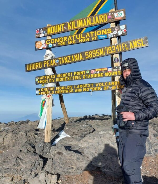
Day 6 is the summit push to Uhuru Peak. You start around midnight from Kibo Hut. The climb goes up Kibo’s eastern crater wall, passes Gilman’s Point, and reaches Uhuru Peak at 19,341 feet (5,895 meters). Then you descend to Horombo Huts at 12,205 feet (3,720 meters). The descent to Horombo Huts covers 10 miles (16 kilometers). Day 7 is the final descent from Horombo Huts to Marangu Gate. The distance is 12 miles (19.3 kilometers), and it takes half a day to a full day. At Marangu Gate, you complete registration formalities and transfer to the hotel.
The Rongai Route is the only route that approaches Kilimanjaro from the north. It traverses diverse ecological zones from forest and moorland to stark desert saddle. The itinerary is designed with safety and acclimatization in mind. The total walking distance is 74.4 kilometers (46.2 miles). The descent follows the Marangu route on the southwestern side of the mountain.
What is Rongai Gate on Mount Kilimanjaro?
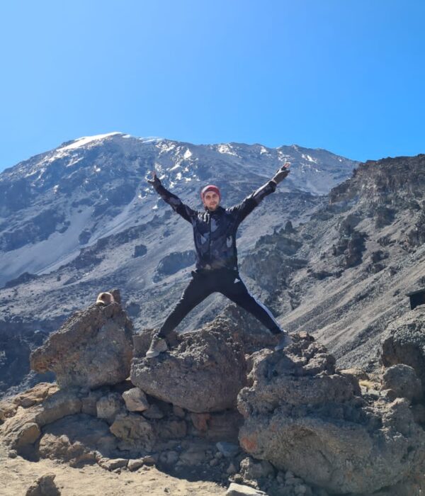
The Rongai gate is located in Mount Kilimanjaro’s northeastern foothills. The Rongai route is the only route that approaches Kilimanjaro from the north, and it starts from the Kenyan side of the mountain in the north and ascends the north-eastern side of the mountain. The Rongai route is one of the more remote and wild trails on the entire mountain.
Rongai Gate, also known as Nalemoru Gate or Nalemuru Gate, is the starting point and trailhead for the Rongai Route on Mount Kilimanjaro. It is situated on the northeastern foot slopes of the mountain, near the Kenya-Tanzania border, in a remote area of montane forest. The gate is located at Nale Moru, a small farming village, and has an elevation of about 6,400 feet (1,950 meters). As an access point to enter Kilimanjaro National Park, Rongai Gate is where hikers must register, go through inspections, and show permits.
From Rongai Gate to Simba Camp, the trek takes about half a day and gains around 760 meters (2,493 feet) in altitude. This first section passes through forest that is thinner and drier than lowland jungles, and is home to wildlife like black and white colobus monkeys. The gate’s remote location and low crowds make it a peaceful spot for those looking for a more relaxed expedition on the northern side of Kilimanjaro.
What is the best time to climb the Rongai Route on Mount Kilimanjaro?
The best time to climb the Rongai Route on Mount Kilimanjaro is during the dry seasons. The dry seasons are from June to October and January to early March. JJanuary and February are best for slightly warmer temperatures. This is when skies are clean and the chance of rain is reduced.
Due to its location on the northern side of Kilimanjaro, the Rongai Route lies in a rain shadow. That is why it is the best route to climb during wet seasons, like April, May, November, and December. However, the rainy season in April and May brings heavier rains, makes trails muddy, and cuts visibility, so climbers should stay away from April and May. November and December have a shorter rainy season, which is less dependable because of more clouds, but the rain shadow makes November a good time to do the trek. The route is possible to climb all year round. The Rongai Route is a lower traffic route, so it remains much quieter than Machame trails and Marangu trails. January to March season will give quieter slopes and less busy hillsides.
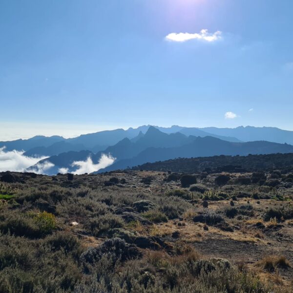
The view from the Rongai Route has vistas across the border of Kenya and perspectives of Mawenzi mountain top. The route has a barren plain between Mawenzi and Kibo, and shows the snowfields of Kibo. From the highest point, the route has views all around. The landscape is arid, with moorlands, high, cold, dry rocky ground, and vegetation. You will be treated to sightings of big game like antelope, buffalo, and elephant.
How much does the Rongai Route cost on Mount Kilimanjaro?
The Rongai Route’s average cost range is $3000 to $6000. Fees for Rongai Route are around $950-$1150. That includes park fees at $70 per day and campsite fees at $50 to $60 per night per person. XPATS International Travel’s seven-day Rongai route package costs $5089 per person for private treks. XPATS International’s pricing for the 7-day Rongai route starts at $3569 per person for groups of 8 or more. The six-day Rongai from XPATS International Travel starts at $3476 for groups of 8 or more, and goes up to $4889 for 2 to 3 people on private treks.

Got questions about this post?
Get free tips from John to help jumpstart your Kilimanjaro journey! Whether securing a travel visa or finding your ideal tourist destination to navigating through a list full of travel insurance policies, John will help you figure out the local tourism industry.
Chat with John