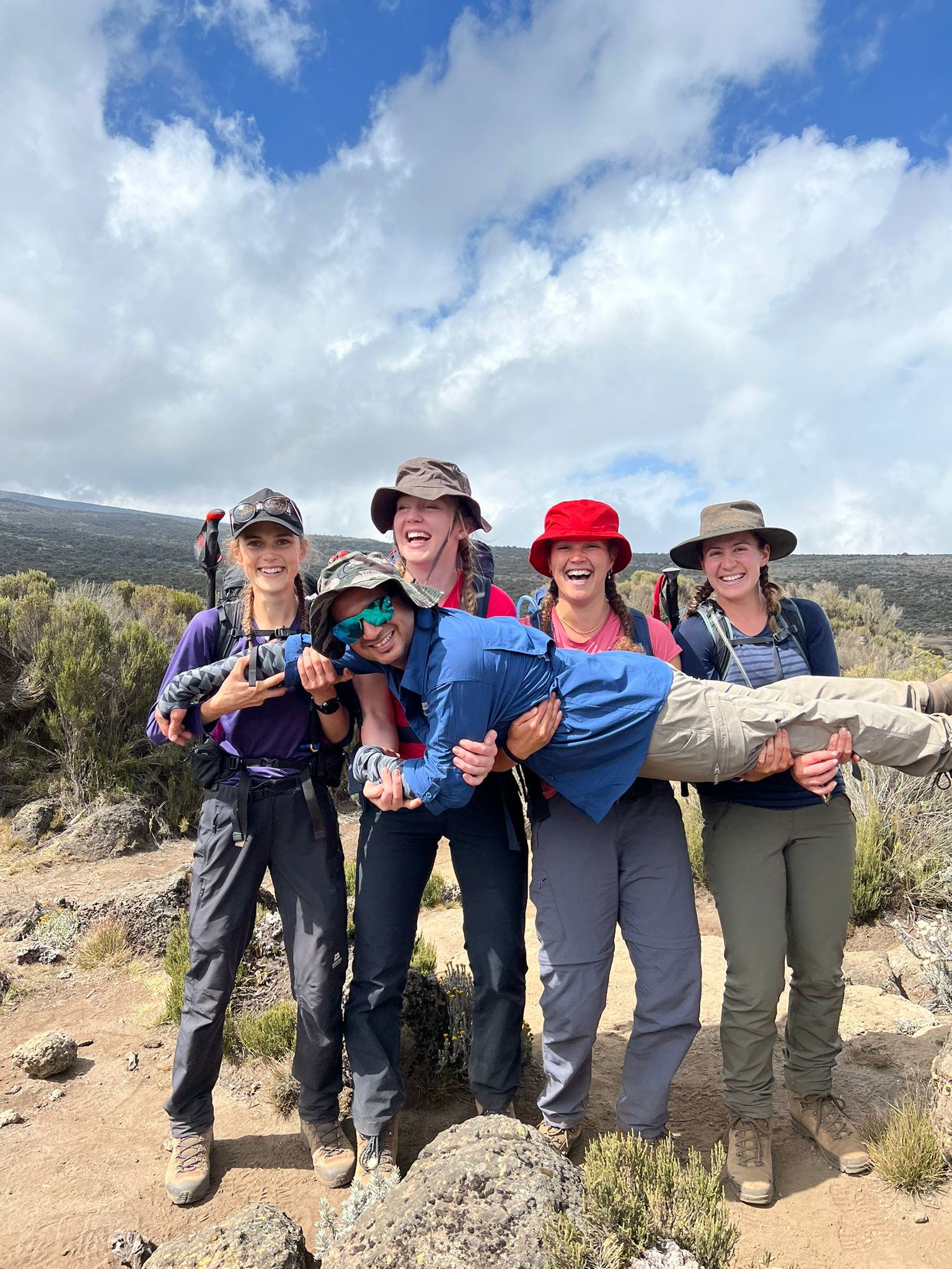
Climbing Kilimanjaro typically takes five to nine days. The optimum length of a Kilimanjaro climb is seven to eight days. A full, seven-day climb helps acclimatization and summit success. Most climbers take six to eight days. The total average distance made to climb Kilimanjaro today is 3.5 miles, or 5.6 km per day.

How long does it take to climb Mount Kilimanjaro?
It takes around five to nine days to climb Mount Kilimanjaro. Ten days is the maximum suggested timeframe. The fastest climb is five days and uses the Machame path. Quickest commercial itineraries use the Machame trail and the Marangu path. The climb length is about 39 miles (62 kilometers), and the Marangu route distance is roughly 51 miles (82 kilometers). The climb in height is about 2.5 miles (4 kilometers). The climb to the top from Barafu Camp takes about three days. The quickest climb to the top is 4 hours and 56 minutes, set by Karl Egloff in 2014. Descent takes just under a day.

Can you walk up Mount Kilimanjaro?
Yes, you can walk up Mount Kilimanjaro. A hiker does not need technical mountaineering abilities or climbing gear. Mount Kilimanjaro has an altitude of almost 6 km (3.7 miles) high. The climb includes trekking from tropical rainforest through multiple types of weather areas to arctic conditions at the summit. The main paths include Rongai, Northern loop, Machame, Shira, Umbwe, Lemosho, and Marangu. A hike takes roughly a week to nearly ten days. An average person walks 8.5 to 10 km (5.3 to 6.2 miles) per day.
The descent is physically demanding due to the steep terrain and loose scree. The steep terrain extends from Barafu to the final camp and from Barafu to Mweka base. The descent covers a considerable drop in height in a short time. The descent from the peak of Uhuru to Camp Millennium is roughly 2,163 meters (7,096 feet), and the descent from Camp Millennium to the Mweka exit point is 1,933 meters (6,342 feet). The total descent from summit to gate takes about half a day to a full day. The descent has a substantial impact on knees and legs due to continuous downhill walking. The Mweka downward path is steep and becomes slippery in wet conditions. Many hikers find the descent more exhausting than expected. The tiredness comes from gradual exhaustion built up from the summit day and physical stress from descending.
What is the distance to climb Mount Kilimanjaro?
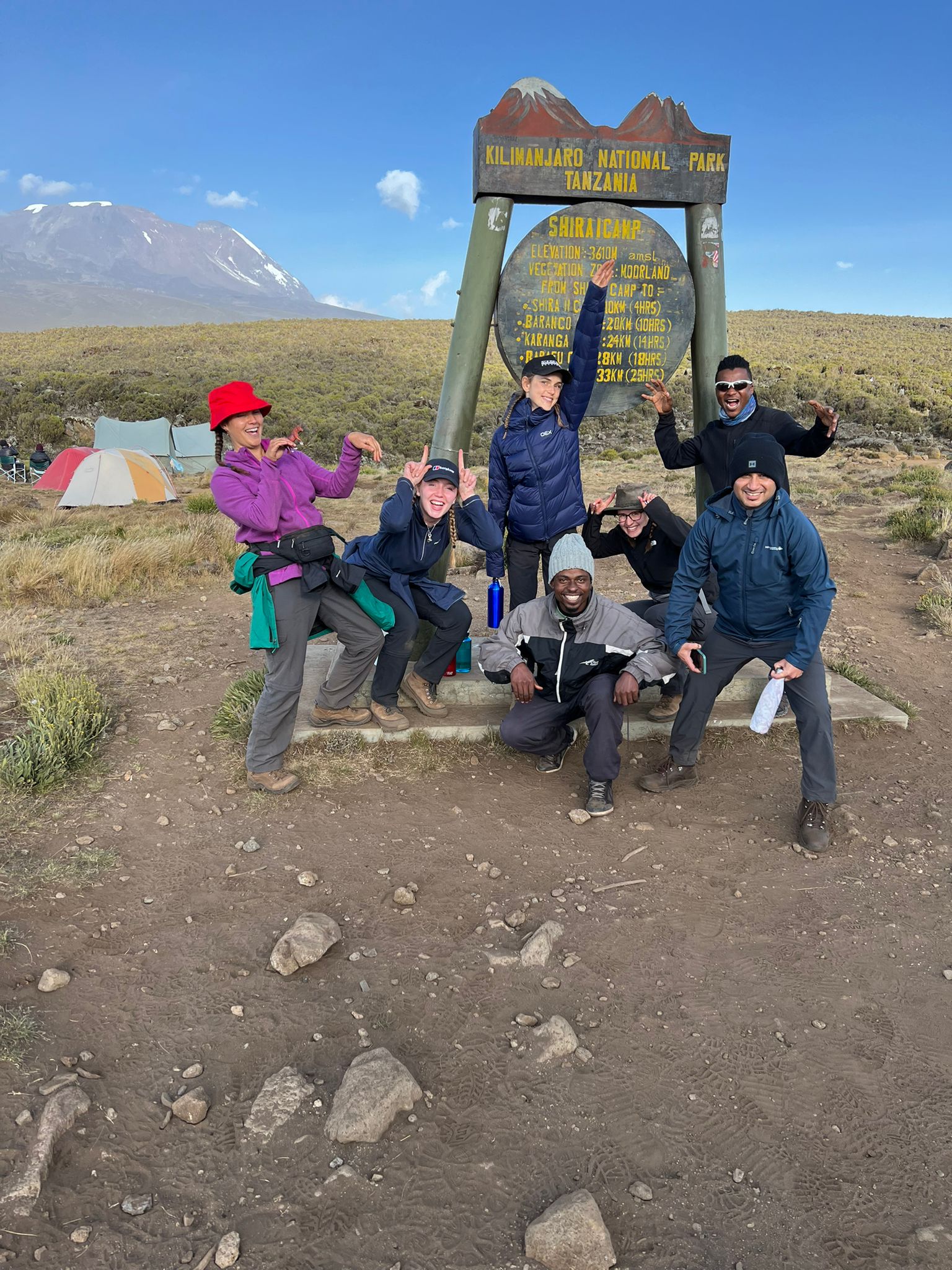
The distance to climb Mount Kilimanjaro changes by route. The Umbwe route is the shortest and steepest path, approximately 33 miles (53 kilometers). Climbers choose routes based on experience and time available. The Marangu trail spans 41 kilometers (25 miles); its total round trip is about 51 miles (82 kilometers). A typical six-day climb to the top covers a distance of 55 kilometers (about 34 miles). Average daily hiking hours run from four hours to eight hours. The Northern path is the longest route. It has an overall distance of 55 miles (88 kilometers). This pathway provides maximum acclimatization.

What are the distances of the different Mount Kilimanjaro routes?
The distances of the different Mount Kilimanjaro routes are given in the table below:
| Route | Distance |
| Rongai | 81 km (50 miles) |
| Machame | 62 km (39 miles) |
| Marangu | 82 km (51 miles) |
| Northern | 88 km (55 miles) |
| Lemosho | 70 km (43 miles) |
| Umbwe | 53 km (33 miles) |
Hiking routes have distances from 53 kilometers (33 miles) to 88 kilometers (55 miles). The northern loop path is the longest route, at 88 kilometers (55 miles). The northern loop path loops around the northern slopes, has diverse scenery, a better timeline with acclimatization, and the highest chance of reaching the summit. The Umbwe path distance is 53 kilometers (33 miles), the steepest and most challenging trail.
The Machame trail distance is 62 km (38 miles), or 49 km (30 miles) for a 7-day trip, which is about 45 miles (72 km) with variations. The Machame path is a popular route with scenic camps and a steep cliff section. The Lemosho trail distance is 43 miles (70 kilometers). The Lemosho trail starts on the western side, goes across the Shira plateau, joins the Machame path, and has an altitude adjustment schedule and panoramic views.

The Rongai route distance is 81 kilometers (50 miles), or 79 km (49 miles) with some operators. The Rongai trail comes from the north, is quieter, and gets close to the Kenya-Tanzania boundary. A seven-day plan has better acclimatization and a higher chance of reaching the top.
The Marangu trail is a popular tourist path at 82 kilometers (51 miles). The Marangu route is the quickest path and shortest route, with hut accommodations. The Umbwe path, the steepest trail, climbs quickly with no adequate time at intermediate altitudes, has one of the lowest success rate, and the peak day is the longest day at 13+ hours.

What are the peaks of Mount Kilimanjaro?
The peaks of Mount Kilimanjaro are given below:
- Kibo
- Mawenzi
- Shira
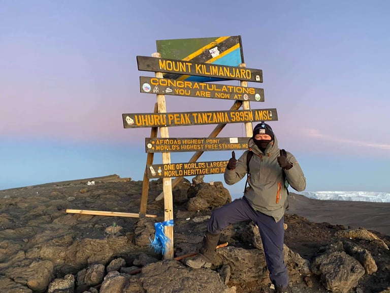
- The top of Uhuru
- Stella Point
- Gilmans Point
- Reusch Ash Pit
- Rebmann Glacier
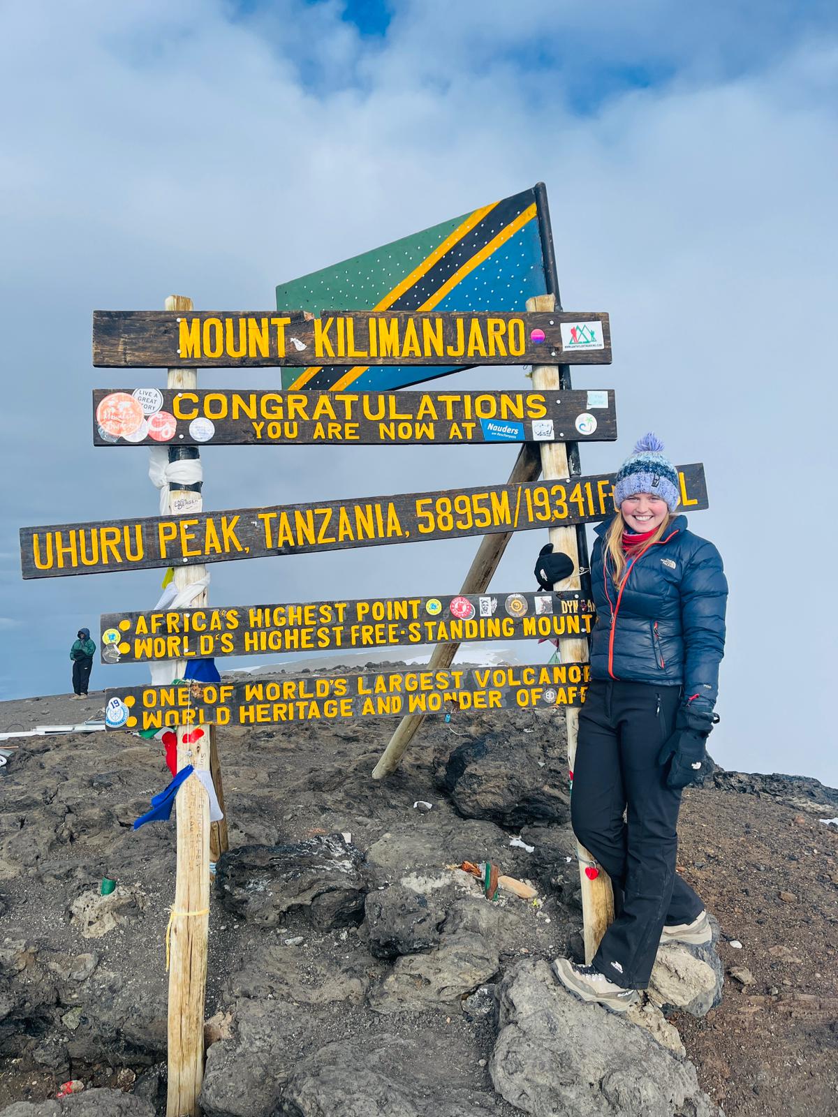
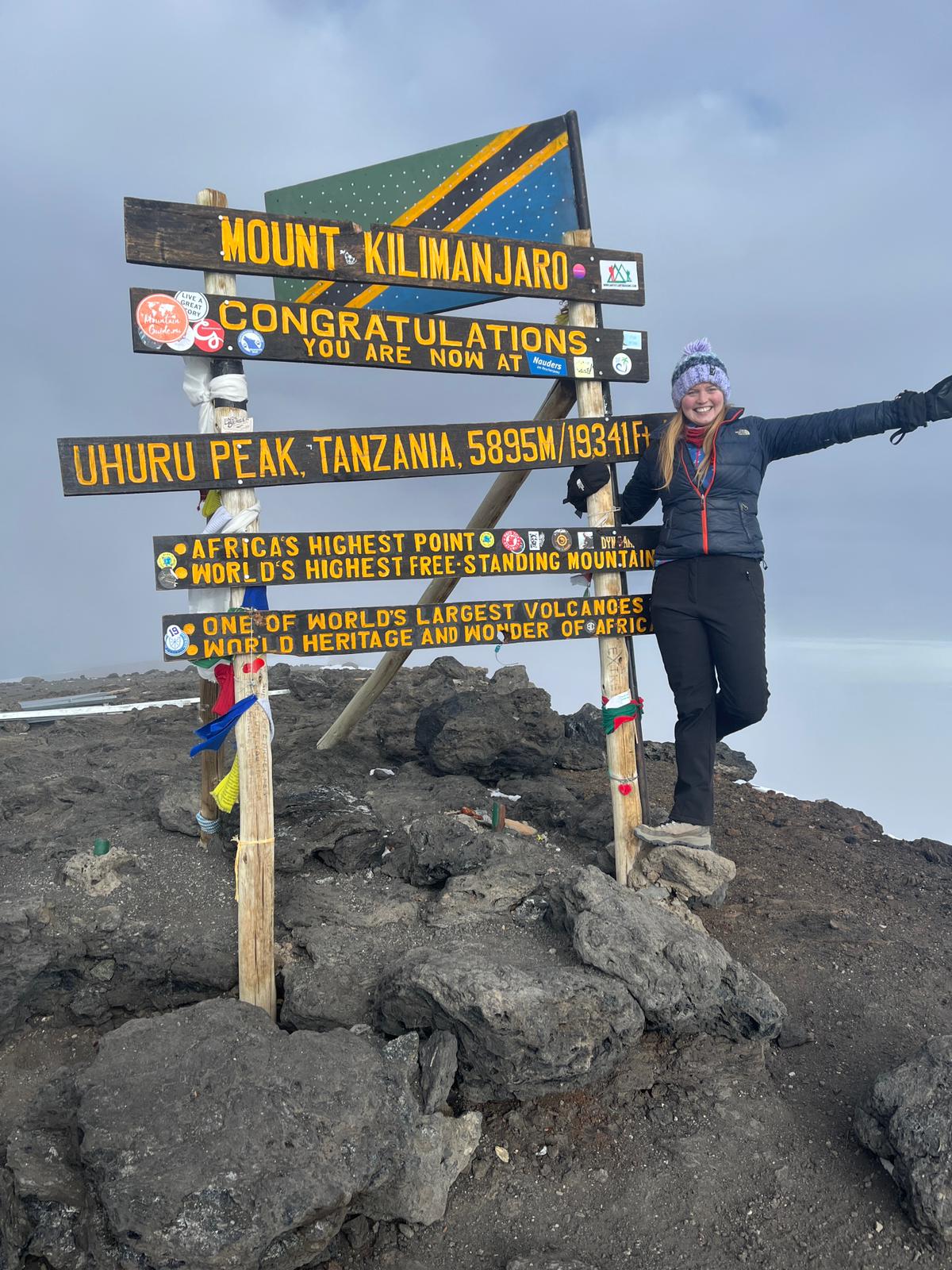
Mount Kilimanjaro has three peaks: Mawenzi, Shira, and Kibo. These formed over millions of years through eruptions. Kibo has an elevation of 5,895 meters (19,341 feet) above the ocean’s surface. It is Africa’s tallest point. Kibo has high points around the edge of the volcano’s opening that are reachable summits. Uhuru Peak has an elevation of 5,895 meters (19,341 feet) above ocean level. Stella Point has an elevation of 5,756 meters (18,885 feet) above the ocean’s surface, and Gilman’s Point has an elevation of 5,685 meters (18,652 feet). Kibo has a caldera that is 1.24 miles (2km) with a depth of 984 feet (300 meters). The Reusch Ash Pit is within Kibo’s crater and is about 350 meters (1,150 feet). This volcanic vent sends out fumes and steam. On top of Kibo, glaciers like the Rebmann Glacier are melting.
Mawenzi is a volcanic cone with an elevation of 5,149 meters (16,893 feet) above ocean level. It has ramparts with pinnacles, steep cliffs, walls, and ridges. Shira has an elevation of 3,962 meters (13,000 feet) above ocean level. The Shira Plateau is made from a caldera. Mount Kilimanjaro has five zones. Kilimanjaro’s zones shift from tropical conditions to arctic conditions. Kilimanjaro’s zones include farmlands, mountain forest, heath and moorland, high elevation barren land, and ice caps at the top. The high barren mountain area is above 4 kilometers (2.5 miles) and has scree, vegetation, and boulders.


Got questions about this post?
Get free tips from John to help jumpstart your Kilimanjaro journey! Whether securing a travel visa or finding your ideal tourist destination to navigating through a list full of travel insurance policies, John will help you figure out the local tourism industry.
Chat with John